
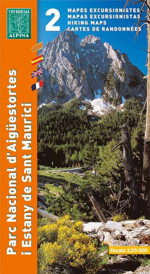
Parc Nationale d'Aiguestortes/Sant Maurici
Editorial Alpina produce an extensive range of walking maps covering key hiking areas of Spain.
The maps are contoured at 10 and 20 m intervals and feature hill shading and summit heights. All maps also feature long distance footpaths and hiking trails, campsites and camping huts.
The maps are contoured at 10 and 20 m intervals and feature hill shading and summit heights. All maps also feature long distance footpaths and hiking trails, campsites and camping huts.
- Legend in English
- Scale 1/25,000
- Coverage: 2 sheets show Eastern/Western sides of the Aiguestortes I Estany De Sant Maurici national Park, lake Colomers
- ISBN 9788480903998
- GPS compatible
- 2 Map set (this pack does not include guide booklet)
Editorial Alpina produce an extensive range of walking maps covering key hiking areas of Spain.
The maps are contoured at 10 and 20 m intervals and feature hill shading and summit heights. All maps also feature long distance footpaths and hiking trails, campsites and camping huts.
The maps are contoured at 10 and 20 m intervals and feature hill shading and summit heights. All maps also feature long distance footpaths and hiking trails, campsites and camping huts.
- Legend in English
- Scale 1/25,000
- Coverage: 2 sheets show Eastern/Western sides of the Aiguestortes I Estany De Sant Maurici national Park, lake Colomers
- ISBN 9788480903998
- GPS compatible
- 2 Map set (this pack does not include guide booklet)
$16.80
Parc Nationale d'Aiguestortes/Sant Maurici—
$16.80
Description
Editorial Alpina produce an extensive range of walking maps covering key hiking areas of Spain.
The maps are contoured at 10 and 20 m intervals and feature hill shading and summit heights. All maps also feature long distance footpaths and hiking trails, campsites and camping huts.
The maps are contoured at 10 and 20 m intervals and feature hill shading and summit heights. All maps also feature long distance footpaths and hiking trails, campsites and camping huts.
- Legend in English
- Scale 1/25,000
- Coverage: 2 sheets show Eastern/Western sides of the Aiguestortes I Estany De Sant Maurici national Park, lake Colomers
- ISBN 9788480903998
- GPS compatible
- 2 Map set (this pack does not include guide booklet)


